Detroit Metro Airport (DTW)
Orientation and Maps
(Detroit, Michigan (MI), USA)
A truly unique city where many dreams have come true, Detroit is a city of change and renovation. Many top landmarks and sights lie in and around central Detroit and include the world-famous Motown area and the Henry Ford Museum. Whilst not one of America's most attractive cities, Detroit has bags of appeal, once you look beneath the surface.
Several regional airports are situated here, including the Detroit Metro Airport (DTW) to the southwest, the region's main transport hub. Also within the city area, the Windsor Airport (YQG) lies to the southeast, and the Coleman A. Young International Airport (DET), to the north, previously named the Detroit City Airport.
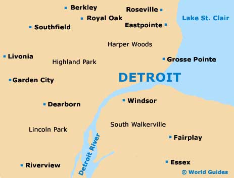
Detroit Metro Airport (DTW) Maps: Important City Districts
Nicknamed the 'Motor City', car hire is particularly popular in Detroit as public transport is somewhat lacking. Local city buses operate from the Greyhound Terminal along Howard Street, connecting more than 40 different cities throughout the state of Michigan and beyond.
The Renaissance Center is amongst the highlights in the city of Detroit and has become an important part of the skyline. Much of city life radiates out from Hart Plaza, next to the scenic Detroit River and close to Woodward Avenue, an important thoroughfare. Several tourist offices are available within the city, including the Detroit Convention and Visitors Bureau, along West Fort Street, where a variety of maps and leaflets can be found.
Outside of the city, many further attractions lie in nearby Dearborn, which is located approximately 10 miles / 16 km to the west.
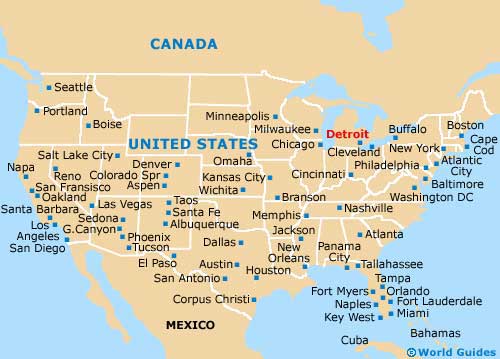
USA Map
Michigan Map

Detroit Map